The Rocks Remember
by Natasha Nagle
Throughout much of our existence, humans have stood in great awe of the natural processes through which their Earth was objected. The raw power available to these processes have inspired countless legends, myths, and tales behind some of the most influential schools of thought and religion the world over. Indeed, there is little more which has affected the course of human’s long history as violently, as unwaveringly, and with as much of an impact as the steadily altering progress of the climate and environment of the places in which we have settled. As a direct result, humans are as much a product of the landscape of our environment as we are of our varied cultural environments and the rich heritages from which they grew.
Within our history, we serve to record aspects of the history of the Earth itself, particularly through noting the direct effect of events such as earthquakes, tsunamis, and coastal movement upon the human populations who lived in the vicinity of their outreaching effects. This is done through the use of personal journals, administrative memos on destruction of property and subsequent rebuilding, records in the very stones of buildings and their maintenance, and even through interaction with our longstanding traditions and stories of peoples long past, all of which correlate to the only true personal connections we may have with them. Through the analysis of these methods, in addition to the utilization of the increasing technologies available to modern archaeology, we are able to learn about, and understand, how the more violent aspects of the Earth’s surface have affected our ancestors and their own personal views of the world in which they lived. However, there are oft many more geological processes and outstanding geological aspects which affect the people living in these areas long before and after the thought of immediate and swift danger passes through their concern.
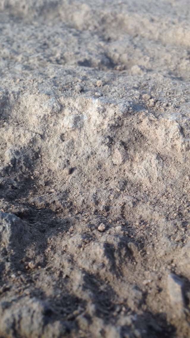
Through recognizing these larger events, we are able to also focus upon the aspects of the geology and topography which affected humans in a slightly more subtle way, though arguably more so in the long run. An interesting aspect of this subtle influence resides in the characteristics of the bedrock upon which the ancients chose to build their cities, harbors, and contact areas. At Tel Akko, the bedrock is a type of sandstone, created through the fossilization of sand dunes, called kurkar. Kurkar has a medium to coarse grain size and is distinctive in its gritty texture and coral pink and white color, due to its composition of quartz and felspar crystals. Occasionally, the color can appear a slightly darker shade of pinkish red, on account of the presence of oxidized iron minerals included within the stone’s matrix.
These deposits run relatively parallel to the present day coastline, and, due to their deposition in the sandy areas of relatively shallow waters, serve to indicate the past positioning of the coastline in relation to the rest of the landmass. There are five periods of sand accumulation which are connected with the formation of the kurkar deposits along the coastline of Israel, approximately 140, 130, 90, 60, and 50 thousand years ago, thereby connected to the Late Pleistocene epoch of the Cenozoic. Darker colored clays which underly some of the sands were originally deposited around 9,000 years ago, and indicate the presence of coastal marshes. An additional interesting note is that the kurkar ridges along the Northern Israeli coast also contain fossil remnants of the Tethys sea, the precursor to the Mediterranean and formed during the breakup of Laurentia and Gondwana, such as a stony coral known as Cladocora Sp.
Throughout the ages, the kurkar bedrock has been of importance to the people of Akko for a number of reasons. Of course, the elevated portions of the bedrock enables the building of houses, industrial centers, fortifications, and outposts, among many other structures, all of which are able to be observed on Tel Akko itself. In addition, pieces of the kurkar, recognized as field stones, are also able to be used as building materials for walls in buildings or other structures. Yet another use of the kurkar is after having been crushed, it was used to level what would become a portion of a floor, in order that the plaster or floor makeup placed overtop would have increased stability and be more conducive to its incorporation into a home or public building.
Another use of the analysis and mapping of the kurkar ridges themselves is to determine where the edges of past coastlines lay. Throughout much of history, Akko existed as an important harbor site as it is one of the few easily and safely accessible harbors across the Levant’s Mediterranean coast. The existence of this harbor is validated not only through the identification of artifacts connected to the harbor and its extensive trade network, but also through the presence of these kurkar ridges and their locations, which indicate previous coastal ranges. Interestingly, the harbor itself went out of use during and after the Hellenistic period, on account of the silting up of the initial harbor, and which necessitated the movement of the harbor and the city of Akko to the current location of the old city to the west, though portions of the old coast are able to be viewed in correlation to these ridges.
Through analyzing the history of the stone itself, along with the uses which people have found for them, we are able to better understand how the geology of an area can intimately affect people, their movement and trade, and their center of life far and wide as well as closer to home. In this way, our history not just records our own past, but also helps us to better record and understand the past of our Earth and how we may better understand it while moving towards the future. Our Earth’s geology has affected each and every aspect of human history and will continue to do so far into the future.